
Groundsure Agricultural
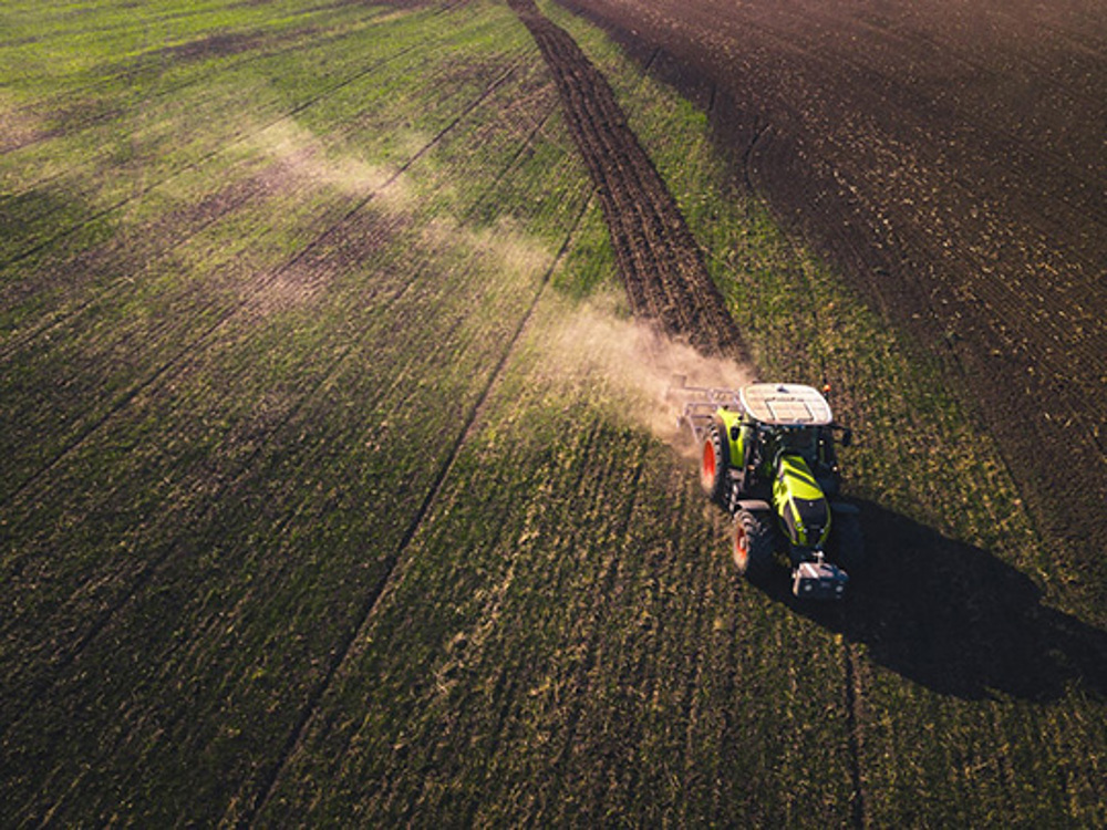
Why choose agricultural?
Built in conjunction with property lawyers and PSLs from leading law firms across the UK, the Groundsure Agricultural report provides a Law Society compliant detailed manual assessment of key environmental risks associated with the purchasing of farms and agricultural land. Backed by a £10m Professional Indemnity Insurance, the Groundsure Agricultural gives the expert, bespoke opinion required for high value estate transactions, supporting progression and completion.
WHO DOES AGRICULTURAL HELP?
Agriculture is suitable for the following:
- Residential
- Existing properties
- Nationwide
- Buyers
- Vendors
- Lenders
- Commercial
- Development sites
- Specific areas
Agriculture is not suitable for the following:
- Tenants
How does the agricultural work?
Potential agricultural land buyers need a clear understanding of any environmental risks including contaminated land, full flood risk assessment, ground stability, energy, 10 years of planning applications and constraints and resulting liabilities, which may affect their purchases.
The report contains practical expertise from Groundsure’s in-house IEMA qualified consultants that offers pragmatic and agricultural focused expert insight to farming sites. A manual assessment is provided using Groundsure’s unique historical data which analyses 27,000+ specific land use classifications dating back to the 1840’s, as well as guidance on Section B8 of the Law Society Conveyancing handbook.
The Groundsure Agricultural gives essential insight for farming sites that includes topography data, land use classifications and stewardship schemes.
What does the agricultural search reveal?
- Manual review of high detail historical Ordnance Survey mapping
- Specific agricultural uses at a farm including a crop map of England.
- Full flood risk assessment covering river, coastal, surface water, groundwater and FloodScore™ that is compliant with Law Society guidance
- Energy data covering existing and proposed oil and gas sites, including fracking, wind installations, solar farm, power stations and major energy infrastructure
- Coal mining screening as well as natural and non-natural ground stability assessment including natural ground subsidence, cavities and non-coal mining
- Environmental and Countryside Stewardship Schemes
- Timber felling licenses
- Waste exemptions
- Discharge consents
- Nitrate Vulnerable Zones
- Planning constraints including ancient or protected woodland
- Planning development extents
- Boundary extents for many recent large development projects dating back to May 2020 clearly illustrated
- Improved accuracy highlighting the area of land to be developed
- Large developments are considered to be residential builds of 10 or more houses (or 1-9 units if value is greater than £1m) and all other projects with a value of £250,000 or more.
Availability
The report is available within 3 working days.